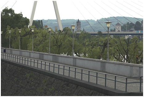
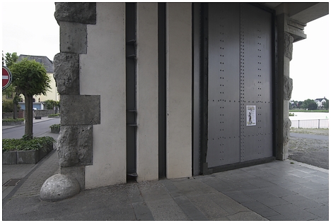

The flood levee to stem the overflow of the river Rhine at Neuwied/Rheinland-Pfalz, at a southern distance of approx. 50 km from Bonn, was erected in 1928-1931 on initiative of mayor Robert Krups. The full length of the artificial flood levee, beginning in the district Engers and ending in Nordhausen is 7,5 km. The high floodwall which protects the city has a length of 500m and consists of two parallel walls which were built at a distance of 5m. The sphere between the walls was filled with cley and grit. Floodwall and dam protect Neuwied from damage by water more than 9m higher than the normal level of the Rhine. The total costs of the works amounted to 7,7 million Reichsmark. Since its completion in 1931 the construction protected the city of Neuwied from more than 75 floods.
